Banff to Adrian City
The journey of a thousand miles begins with one step.Lao Tzu (or Laozi)1


Notice the height of the profile in today’s entry above, much bigger than those presented hitherto, reflecting the height gained today – nearly 9,000’.
The day started early; dawn revealed gloomy low lying cloud with a strong hint of rain but there were lot to do before the off. First on the list was to have a big breakfast. This was doubly important today…
Given the numbers of participants who were looking to be at the start I was concerned that there would be minimal food left at the first resupply point; a small trading post called Boulton Creek (96k), especially as we were then being re-routed via the Bull River Forest Service Road, due to a bridge being down in the Flathead Valley, which meant there would be no chance of further resupply until Fernie (261k).
The next task was to dispose of the superfluous none cycling clothing I’d brought with me. I had no extra footwear so had to dispense with only one pair of lightweight trousers and an old shirt. Fortunately there was a big charity box for all the extra kit people were leaving – this afforded everyone the opportunity to utilise any spare kit. I thought about taking one of the spare 29” inner tubes on offer but decided against it after all what would I do with a 29” inner tube when my tyres were 27.5”….!!
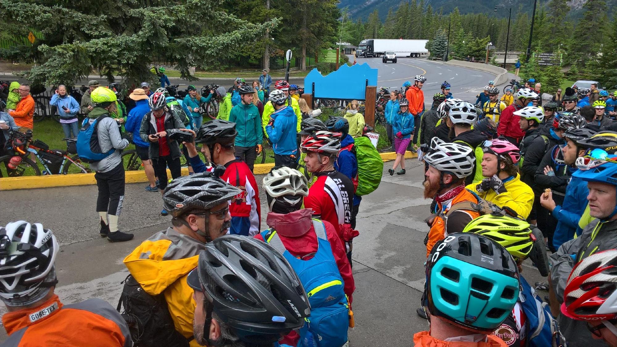
There was a gradual influx of people in the vicinity of the ‘Y’ front courtyard with Crazy Larry running around taking lots of pictures. Jay Petervary, who was doing an ITT later in the week, distributed ‘Salsa’ top tube caps which could be swapped for two slices of pie when/if in the far far distant future we reached Pie Town. I mentally decided I was going to keep this as a memento of the trip – especially if I succeeded.


I stood on the low wall at the back so I could get a good view and to ensure I would appear in the photo. This photo was put on both Facebook and YouTube. You can see me at the start in various YouTube videos, detailed in Appendix 3.
After a photo session, and a few words of encouragement from Crazy Larry it was a case of find your bike, a few quick ‘good lucks’ to random people and then a very low key trundle to the trail start. Obviously I hadn’t expected a huge firework display, brass bands or anything like that, but the actual start was all slightly anticlimactic indeed a little subdued, possibly because people were coming to terms with the enormity of the forthcoming task and the fact that the event was actually underway.
I consciously did not start off like a rocket. It was quite liberating knowing that there was no point in trying to keep with the front runners even if I wanted to.
My personal goal was to keep my Trackleaders icon blue and prevent it being changed into the dreaded white ‘touring’ category2. I had only mooted this to the family but even then I had been roundly chastised for being ‘too ambitious’ and had been urged to ‘take my time and enjoy it’.

Given the fact that the Trackleaders site suggests that 170 riders lined up at the start, it was surprising just how quickly the multitude thinned out leaving one cycling essentially alone.
Frustratingly I was plagued by nagging doubts as to whether I had packed x, y or z, especially my camera. It took me a couple of miles to finally get my head sorted and to settle down to simply cycling and not rummaging through various bags on the bike checking.

Numerous bear signs highlighted the fact that we were travelling through densely populated bear territory. To warn of approach and/or scare the bears off some riders used whistles or bear bells. It was curious hearing random whistles ringing out in the woods on occasions. My reading is that bear bells are useless.

I was torn between looking forward to seeing a bear and finding myself in too close proximity to one!! The map shows we were in joint Grizzly and Black bear territory3.

I elected not to use a whistle; I reasoned that significant cyclists would already have passed though before me so there was unlikely to be any bears in my vicinity.
This logic proved false because I later spoke to some cyclists at Butts Patrol Cabin (day 2) and they described seeing a bear emerge from a cutting and cross the trail behind a group of cyclists who had just passed the spot!!

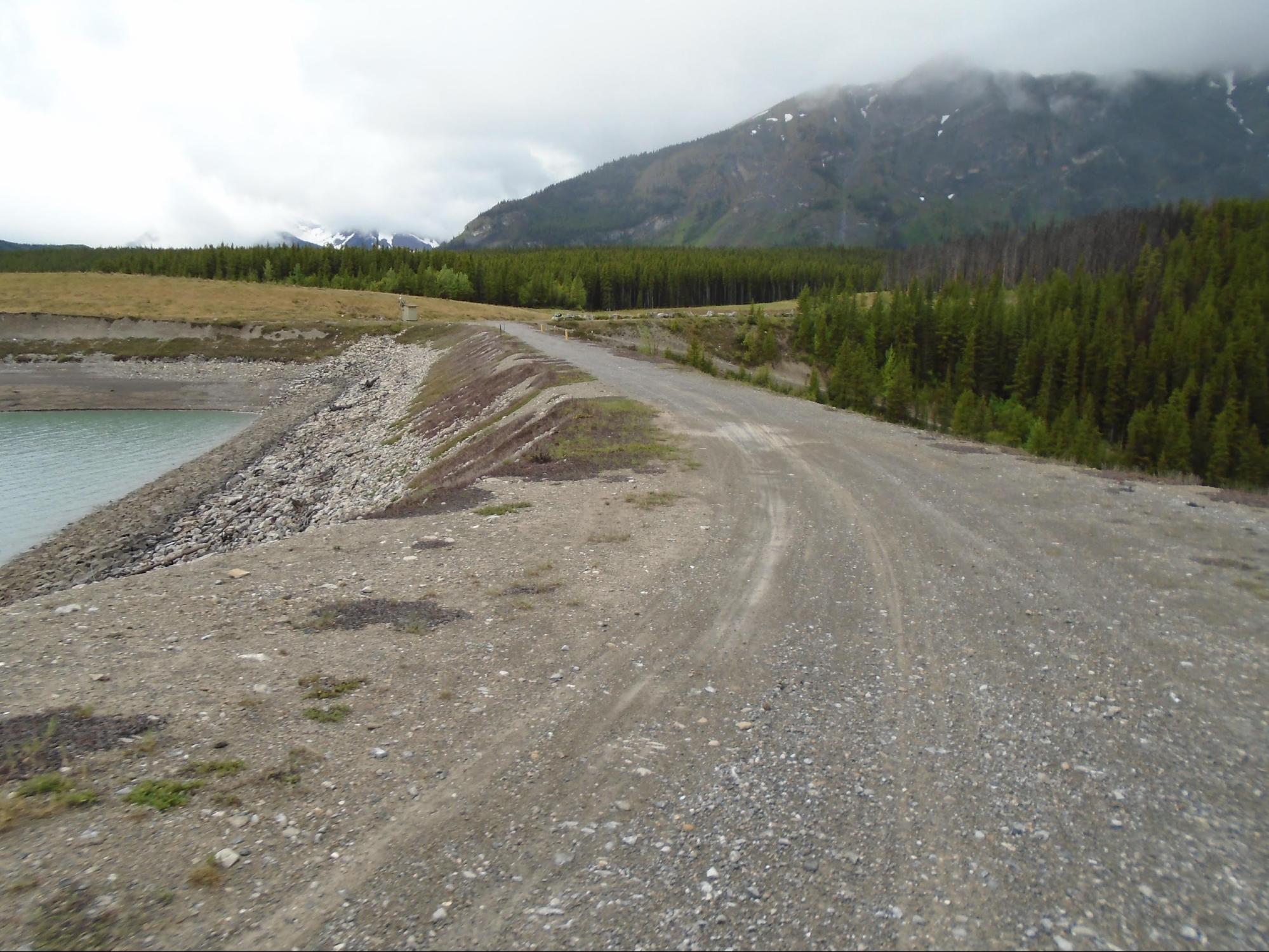
Throughout the morning I made steady progress along good tracks, keeping Goat Pond and Spray Lakes Reservoir on my left. The reservoir was comparatively low; multiple piles of bear scat were in evidence.


Note the absence of fellow cyclists illustrating how just quickly we all dispersed.
As it turned out I need not have had concerns about there being no food left at Boulton Creek Trading Post. There was loads available.
On reflection, perhaps rather than worrying about food availability I found I should have been more concerned about whether or not I had enough money, because things were not cheap but I stocked up sufficiently for the forthcoming 170k to Fernie.

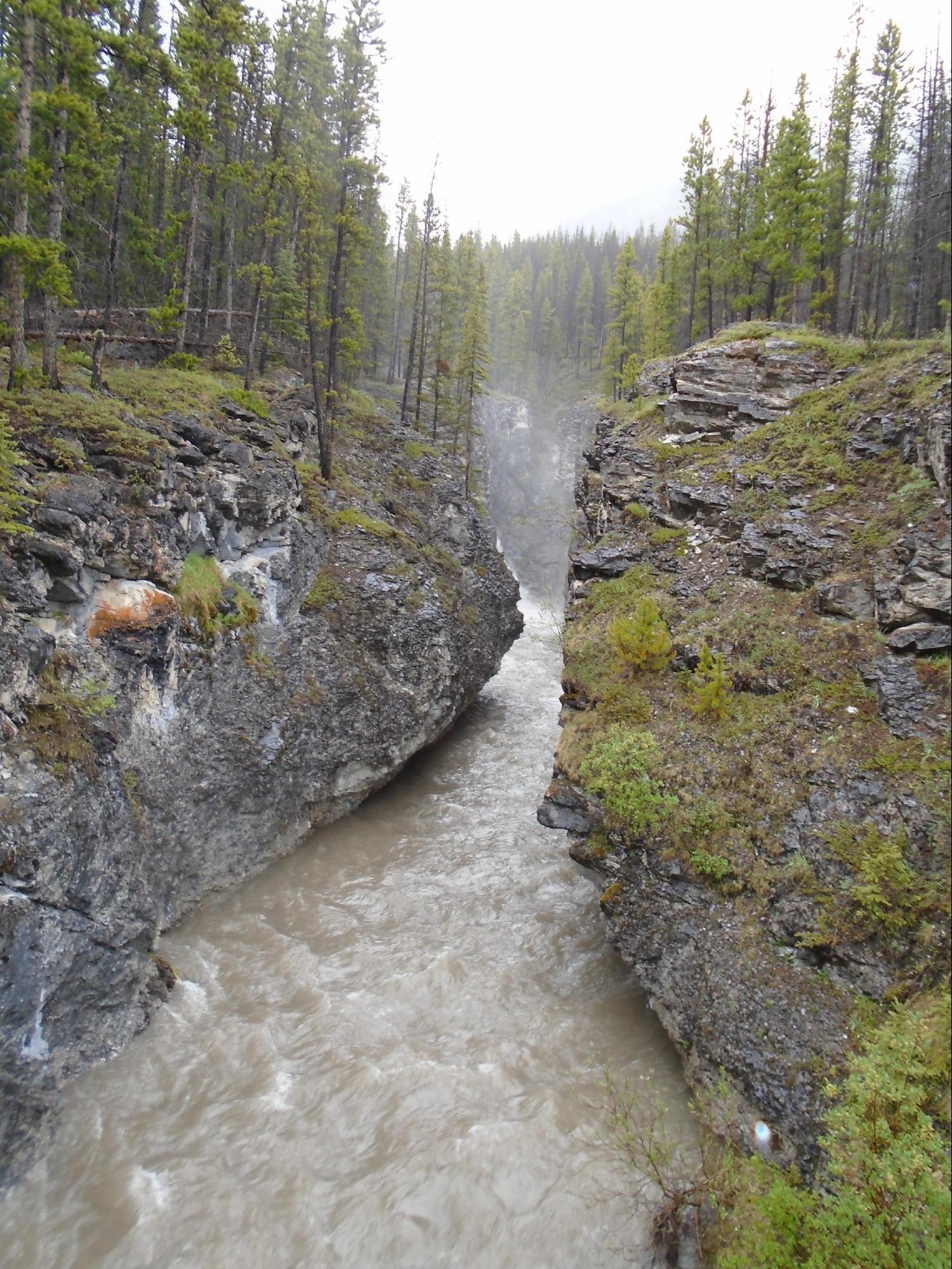
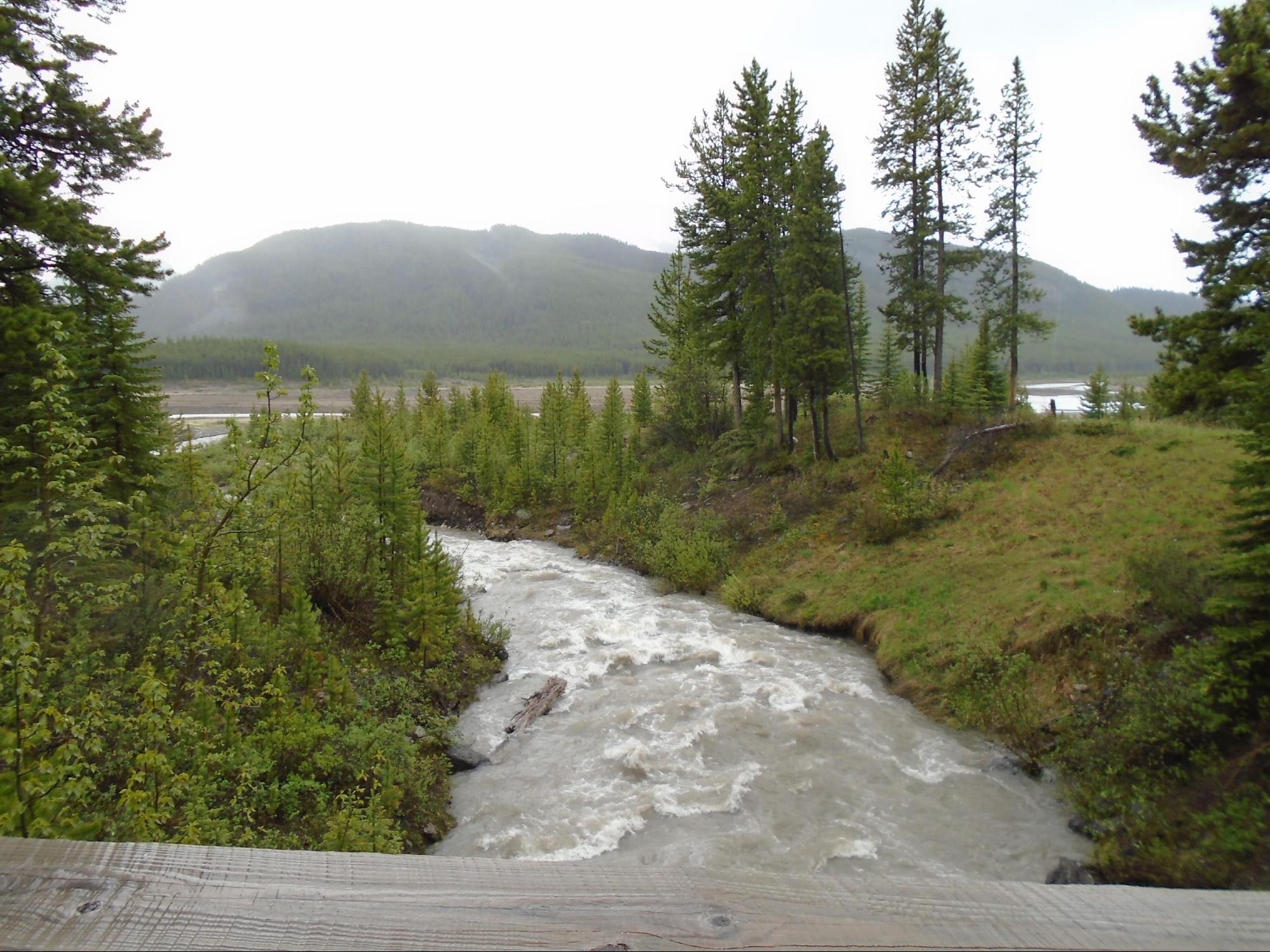
The scenery was very dramatic, albeit largely cloud covered for large portions. Gradually the weather started to close in with occasional rain spots but no continued downpour. The wind began to exert an increasing effect on the exposed western side of the lakes.
After the Boulton Trading Post, on the climb up to Elk Pass 6,443’ the trail deteriorated, and to add to ‘the enjoyment’ at the top of the pass there was a short sharp hail /sleet shower and it became decidedly colder.

I came across a whole set of ACA maps on the trail dropped by a TD rider – good start I thought. He got them back when he retraced his steps and met me.
Elk Pass marked the first and only Continental Divide crossing in Canada and signalled our leaving Alberta and the Peter Lougheed Provincial Park and entering British Columbia.
The 60k descent from Elk Pass down the Elk River Valley to Elkford proved to be one big long mud bath. There had been significant logging truck activity in the recent past and in sections the trail consisted of 4’ deep wheel ruts through thick glutinous mud.


It was during this section that I began to have serious issues with chain suck.
This occurs when the chain does not detach correctly from the bottom of the front chain ring and instead wraps around the ring until something jams. It occurs when the force provided by the rear derailleur spring is less than the force causing the chain to adhere to the chain ring.
I had never experienced this phenomenon before and in order to prevent the chain sticking and causing damage I was reduced to dunking the bike in any lake/river/pond I could find to clear to mud away, applying loads of chain lube and backpedalling whenever the suck started. In the worse cases it was happening every other pedal stroke. This severely hindered forward progress in the mud.

On reflection I suspect it was the bike was trying to tell me it needed a new front chain ring but I was deaf to its entreaties and anyway could not do anything about it, being up to my ankles in mud and over 60k from a bike shop. I chose to ignore/endure the problem which resolved when we were in less muddy sections.
Partly because of the chain issue, partly because it was difficult staying upright in the mud as I was going so slowly and partly because it was virtually impossible to get going again if you stopped, I did not take any photos during this section.
Eventually the trail surface improved and I was pleasantly surprised by the length of the downhill.
I was to learn very quickly how the TD is characterised by the length of the down and, by implication uphill, sections.
It was starting to get dark as I was approaching the sharp right hand turn west, off the Elkford road onto the new reroute necessitated by the bridge being down in the upper Flathead valley east of Elkford.
This section was purported to be a very gnarly section of the trail and I suspected it would prove to be very difficult in the dark. I was not overly looking forward to camping out by the side of the trail in bear country but equally I really didn’t want to detour onto Elkford incur extra distance, only to find all the accommodation had already been taken by a sudden influx of cyclists.
In time honoured fashion I had again elected to ignore the problem. As it turned out I happened upon a collection of tents pitched around a fire at an impromptu campsite set up by fellow TD racers on the banks of the Elk River.
I rocked up and was told that the campsite fee was a handful of firewood – fair enough. So I paid my dues and set up the tent. With so many people around I felt a lot more comfortable, even if there was nowhere obvious to hang the any food. In the end about 10 of us stayed overnight at what became known as ‘Adrian City’ after Adrian, an Australian who apparently had been the first to pitch his tent at the site.

Saw an elk about 100yds away in the increasing gloom – slept well, tired but content.
1. Laozi, an ancient Chinese philosopher and writer, reputed author of the
Tao Te Ching and founder of philosophical Taoism. He is a deity in both Taoism and traditional Chinese religions. Allegedly Laozi left China, on a water buffalo, to seek enlightenment living, as a hermit, on the unsettled border.
2. Trackleaders http://trackleaders.com/tourdivide17 is the go to site for those following the race live. Progress (or lack thereof) of the GPS SPOT tracking devices can be viewed in either whole field or individual person mode. Unfortunately post finish, if you re run the race the programme resets automatically at 08.00 Jul 4th ’17, by which time I was south of Pie Town, which is annoying.
3. Grizzly bear density along the route (generally HIGH) is given by clicking here.

